Salem Sensitive Lands Project
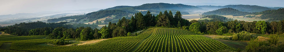
The Willamette Valley is a unique ecosystem of rivers and streams, wet prairies, gallery forests, and upland prairies dominated by Oregon's iconic White Oak. Positioned between the Coastal mountain range and the Central Cascades, the Willamette River is its defining feature and a main driver of the area's ecology. Much of the original landscape has been lost or altered by human activity.
The City of Salem has not made preservation of natural lands and ecological processes a priority. While the City has made important investments in securing land for public parks and complies with state and federal environmentally regulations, it lacks a vision of how natural lands contribute to a healthy and livable urban community. And so, development by development, floodplains are lost, wetlands are filled, and streams are degraded, channelized, and buried.
To preserve what we can and restore some of what we've lost, I am working with my colleagues on the Streams and Wetlands Subcommittee of the Salem Planning Commission to develop recommendations on how we can better preserve, restore, and manage our environmentally sensitive lands. them. The information below includes maps and other material we are developing for this project.

01
Sensitive Lands in Salem
This map displays information on surface water, riparian buffer lands, wetlands, and FEMA-regulated floodplains within the City of Salem's city limits.